Charts
Geographica is the chart distribution agent in Hobart for the Australian Hydrographic Office. We can supply your charts as flat paper or laminated. Bulk discounts apply on laminated charts.
- You cannot add "AUS 806 Chart - NSW - Cape Howe to Montague Island" to the cart because the product is out of stock.
Showing all 47 results
-

AUS 143 Chart – VIC – Port Phillip
$40.00 -
AUS 144 Chart – Victoria – The Rip
$40.00 -
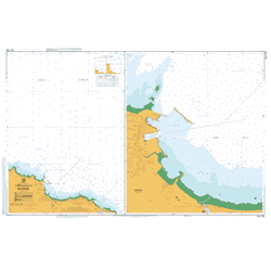
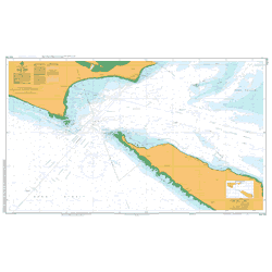
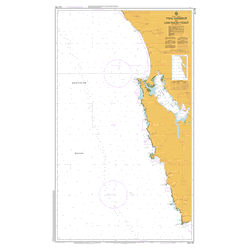
AUS 163 Chart – TAS – Approaches to Burnie
$40.00 -

AUS 164 Chart – TAS – Approaches to Devonport
$40.00 -

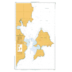
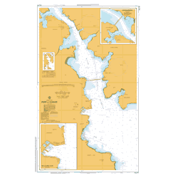
AUS 167 Chart – TAS – Port Dalrymple
$40.00 -
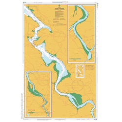
AUS 168 Chart – TAS – River Tamar – Long Reach to Launceston
$40.00 -
AUS 170 Chart – TAS – Mercury Passage
$40.00 -

AUS 171 Chart – TAS – Hobart to Norfolk Bay
$40.00A popular chart for mounting with Tas Oak hangers or framing.
-
AUS 172 Chart – TAS – Port of Hobart (WITHDRAWN)
$40.00 -
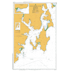
AUS 173 Chart – TAS – D’Entrecasteaux Channel
$40.00$300 Framed – collect in store
-
AUS 174 Chart – (Withdrawn)
$40.00 -

AUS 176 Chart – TAS – Port Davey including Bathurst Harbour
$40.00 -
AUS 177 Chart – TAS – Macquarie Harbour
$40.00 -
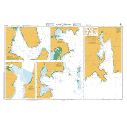
AUS 178 Chart – TAS – Plans in Tasmania (Sheet 2)
$40.00 -

AUS 179 Chart – TAS – Plans in Tasmania (Sheet 1)
$40.00 -
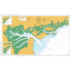
AUS 181 Chart – VIC – Corner Inlet
$40.00 -

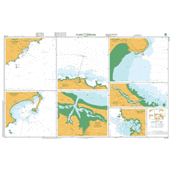
AUS 192 Chart – NSW – Twofold Bay
$40.00 -

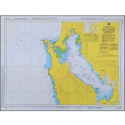
AUS 193 Chart – NSW – Approaches to Jervis Bay (WITHDRAWN)
$40.00 -

AUS 195 Chart: NSW – Approaches to Port Kembla
$40.00 -

AUS 196 Chart – NSW – Port Botany
$40.00 -

AUS 200 Chart – NSW – Port Jackson
$40.00 -

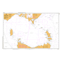
AUS 4074 Chart – Southern Ocean – Cape Darnley to Tasmania
$40.00 -
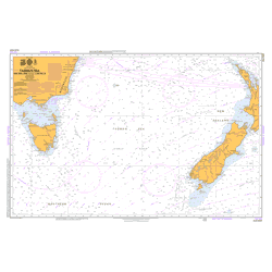
AUS 4601 Chart – South Pacific Ocean – Tasman Sea – New Zealand to SE Australia
$40.00 -

AUS 4602 Chart – Australia to Northern NZ and Fiji
$40.00 -

AUS 4604 Chart – South Pacific Ocean – Coral and Solomon Seas and Adjacent Seas
$40.00 -
AUS 487 Chart – Bass Strait
$40.00 -
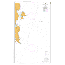
AUS 766 Chart – TAS – Mistaken Cape to Wardlaws Point
$40.00 -

AUS 767 Chart – TAS – Wardlaws Point to Eddystone Point
$40.00 -
AUS 789 Chart – TAS – Bass Strait – King Island (Withdrawn)
$40.00 -
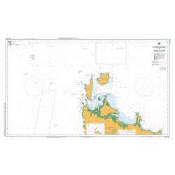
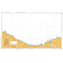
AUS 790 Chart – TAS – Stokes Point to Rocky Cape
$40.00 -

AUS 791 Chart – TAS – West Point to Granville Harbour
$40.00 -
AUS 792 Chart – TAS – Trial Harbour to Low Rocky Point
$40.00 -

AUS 793 Chart – TAS- Low Rocky Point to South West Cape
$40.00 -

AUS 794 Chart – TAS – South West Cape to South East Cape
$40.00 -
AUS 795 Chart – TAS – South Cape to Storm Bay
$40.00 -

AUS 796 Chart – TAS – Tasman Head to Cape Frederick Hendrick
$40.00 -
AUS 797 Chart – TAS – Tasman Island to Mistaken Cape
$40.00 -

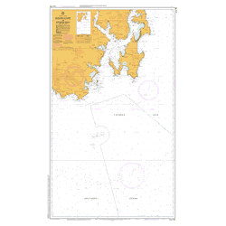
AUS 798 Chart – TAS – Eddystone Point to Stony Head
$40.00 -
AUS 799 Chart – TAS – Stony Head to Rocky Cape (Withdrawn)
$40.00 -
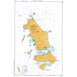
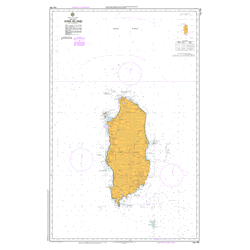
AUS 800 Chart – TAS – Furneaux Group
$40.00 -
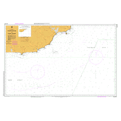
AUS 805 Chart – VIC – Point Hicks to Cape Howe
$40.00 -

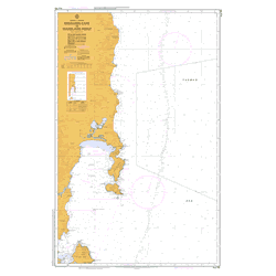
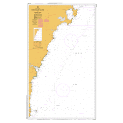
AUS 806 Chart – NSW – Cape Howe to Montague Island
$40.00 -
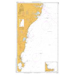
AUS 807 Chart – NSW – Montague Island to Jervis Bay
$40.00 -
AUS 808 Chart – NSW – Jervis Bay to Port Jackson
$40.00 -

AUS 817 Chart – Queensland – Great Sandy Strait and Hervey Bay
$40.00 -
Sydney to Hobart Yacht Race Chart Set
$400.00 -
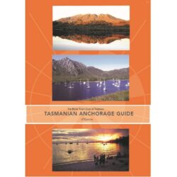
Tasmanian Anchorage Guide
$75.00Edition: 6th Production Date: 2023 Publisher: RYCT