Description
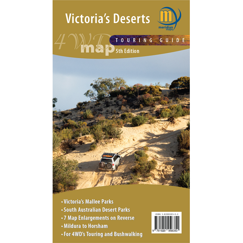
Victoria’s Deserts Touring Map and Guide
The Victoria’s Deserts Touring Map and Guide covers areas in the north west of Victoria and across the border to South Australia.
Covering:
- Little Desert National Park
- Wyperfield National Park
- Murray-Sunset National Park
- Hattah-Kulkyne National Park
- South Australian Mallee Parks
- Silo Art Trail for the region*
This version covers the all the Mallee parks of Victoria from the Little Desert through to the Murray River, as well as the South Australian Desert Parks of Narkat and Billiatt. It also shows the Riverland region of SA.
Many new tracks, road names and other features have been added for this edition. It is ideal for four wheel drivers as it includes all the navigable tracks in the region as well as the tourist features
This map covers the best of the Border Track and all the four-wheel drive tracks of the Big Desert State Park.
*The Silo Art Trail is Australia’s largest outdoor gallery. The trail stretches over 200 kilometers, linking Brim with neighbouring towns Lascelles, Patchewollock, Rosebery, Rupanyup and Sheep Hills. Providing an insight into the true spirit of the Wimmera Mallee, the trail recognises and celebrates the region’s people through a series of large-scale mural portraits painted onto grain silos, many of which date back to the 1930’s.


