Description
Tali Karng-Moroka Map
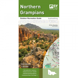
This Tali Karng-Moroka map from Spatial Vision covers Dargo and Licola and is ideal for bushwalking, Cross-country skiing, rock climbing, mountain biking and car touring.
The newest addition to the series, this guide contains a detailed map of the region at 1:50,000 scale, covering the key locations of Dargo and Licola.
The map covers the historic gold mining towns of Grant and Talbotville; walking trails such as McMillans Track and a section of the Bicentennial National Trail, and magnificent bushwalking destinations including Moroka Gorge, Lake Tali Karng and The Crinoline.


