Description
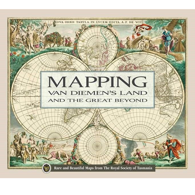
Mapping Van Diemen’s Land and the Great Beyond
Cartography through time is explored in this lavishly-illustrated (over 100 high- quality pictures), 138 pp book which explores The Royal Society of Tasmania’s fascinating Map Collection and also includes maps from volumes found in the Society’s Rare Book Collection.
The brief of the numerous authors was to view the maps and consider them within their historical, social and or cultural context. The sorts of questions authors were asked to address included:
- How important were these maps when created?
- How important are they today, in terms of knowledge and or specific systems such as geological or exploration maps?
- How historically important are these maps?
- What impact would these maps have had when they appeared?
- What did the compilers get right/wrong/what did they not see/was not yet discovered?
- Is there any general cultural context or social comment that arises as a result of these maps?

