Description
Description
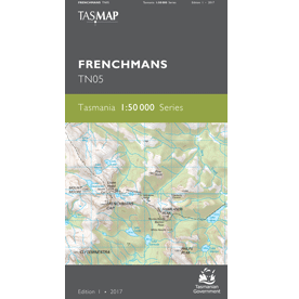
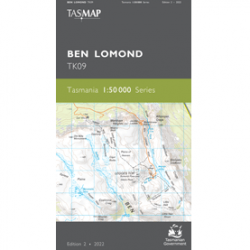
The Frenchmans 1:50,000 Topographic Map
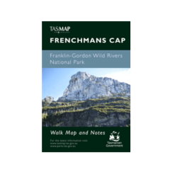
The Frenchmans 1:50,000 Topographic Map covers an area in the Franklin-Gordon Wild Rivers National Park, featuring Frenchmans Cap (1446m).
Other features on this map include the Franklin River, Loddon Rover, Collingwood River, Andrew River, Propsting Gorge, Lake Burbury and Jane River.
A current index of the Tasmanian 1:50,000 mapping series can be found HERE.

