Description
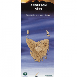
Federation 1:25k Topo Map
This Federation 1:25k Topo Map covers an area in Tasmania’s South West, and most notably covers Federation Peak.
This map on its own is not suitable for the Federation Peak walk. Fed Peak is in the top right-hand corner of this map and the map does not cover the entire north of the peak, nor the track in from Farmhouse Creek.
We can print a composite map from the digital maps available for separate purchase from Tasmap.
The 1:25,000 Topographic/Cadastral mapping series has been archived following the introduction of the 1:50,000 Topographic mapping series in 2015.
You may still purchase the Federation 1:25000 Topographic/Cadastral map, however, for a more current portrayal of the area covered the Bathurst 1:50000 map, produced in 2015, is now available.


Reviews
There are no reviews yet.