Description
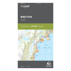
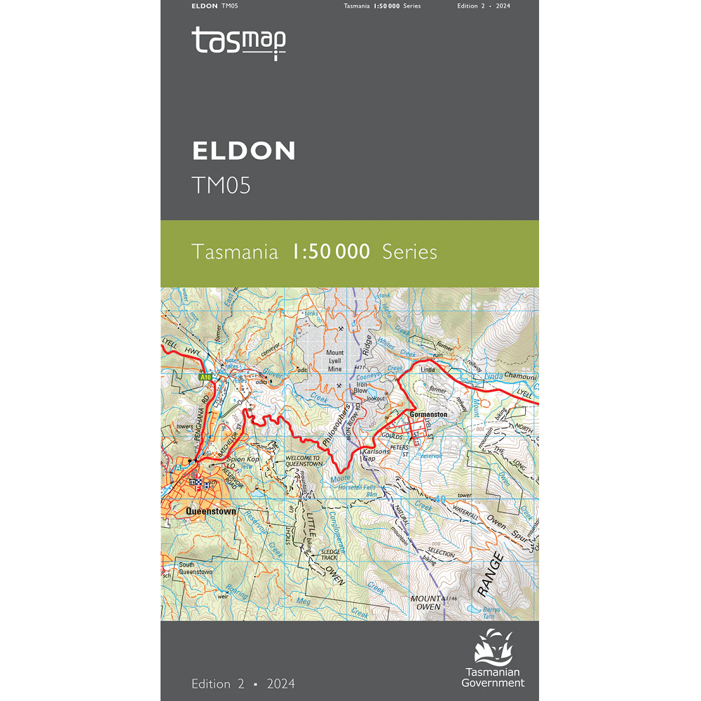
Eldon 1:50,000 Topo Map
The Eldon 1:50,000 Topographic Map is named for the Eldon Ranges featured in this map, in Tasmania’s South West. The mining town of Queenstown is featured near the western edge of this map.
This map features the Tyndall Ranges and is the replacement for the Tyndall 3835 1:25,000 scale topographic map since the archving of the 1:25k series of maps from TASMAP.
The most prominent feature on this map is the small mining town of Queenstown, with its surrounding ‘moonscape’ appearance. This mountainous area was first explored in 1862, with alluvial gold being soon after discovered at Mount Lyell, prompting the formation of the Mount Lyell Gold Mining Company in 1881. The mountains surrounding Queenstown have unusual pink and grey hues caused by the conglomerate rock composition of the two most adjacent mountains. The locally named 99 bends, located on the Lyell Highway just out of Queenstown, is a favourite for Targa Drivers and tourists and takes in some rewarding scenery. To the east of Queenstown is Lake Burbury, a large Hydro lake formed by the building of two Hydro dams in the 1980s. The majority of the map is covered by the Franklin – Gordon Wild Rivers and Cradle Mountain – Lake St Clair national parks.
A current index of the Tasmanian 1:50,000 mapping series can be found HERE.