
Description
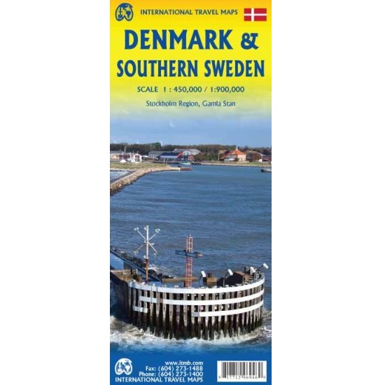
Denmark and Southern Sweden Map
The Denmark and Southern Sweden map combines the best of both countries in a double-sided entity that shows all of Denmark on one side and the southern half of Sweden on the other side.
The Danish side shows roads as well as touristic attractions such as churches, windmills, castles, museums, and other points of interest. An inset map of the island of Bornholm is included.
The other side shows Sweden in great detail from the bridge joining Copenhagen to Malmo and the ferry between Helsingor and Helsingborg north to the border with Norway and east to Stockholm as well as much farther north into the interior lakes, all the way to Ostersund. A detailed map of the old town centre of Stockholm, known as Gamla Stan, is also included.



Reviews
There are no reviews yet.