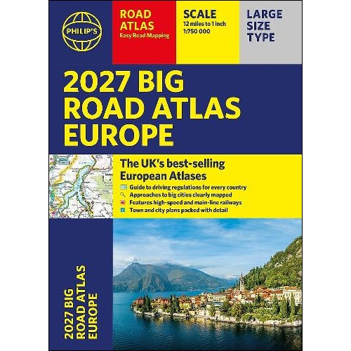
Description
Big Road Atlas Europe
The Philip’s Big Road Atlas Europe is a large-scale, comprehensive atlas that contains:
- Super-clear, easy-to-read main scale at 1:750,000 (12 miles to 1 inch)
- Easy-to-use large A3 format with large maps and large print place names
- Rivers and canals specially mapped for cruises and water-based travel
- 16-page route planning section, for easy route planning across long distances
- 50 town and city plans for easy navigation
- Over 30 urban area maps to help driving in denser areas
- Spectacular scenic routes clearly highlighted
- Time zones mapped across Europe
- Extra pages with scales from 1:1.5M to 1:3M, showing more detail where you need it
- Clear mapping of every country in Europe with all the driving regulations for each one
- Including mapping of Europe’s High-Speed and Main Line Rail Network to help plan long distance journeys
- Using the most up-to-date mapping technology, this is the ultimate road companion for moving around Europe

Reviews
There are no reviews yet.