Description
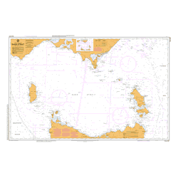
AUS 806 Chart
| Chart Number | Aus806 |
| Title | Australia East Coast – New South Wales – Cape Howe to Montague Island |
| Geog Location | Australia |
| North Lat | 36 13.90 S |
| South Lat | 37 35.40 S |
| East Long | 150 48.60 E |
| West Long | 149 49.20 E |
| Scale | 1:150,000 |
| Projection | Mercator |
| Edition Date | 21-Nov-2008 |