Description
Asia Executive Wall Map
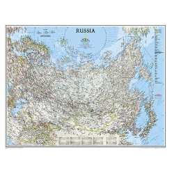
The Asia Executive Wall Map uses a antique-style colour palette that fits with any decor. This stunning wall map covers the entire continent, with shaded relief, colorful international borders and infrastructure features such as roads, railroads, airports and canals.
Also displayed are glaciers, areas of sand, lava fields, intermittent and dry lakes, swamps and areas below sea level. Country capitals and other cities are labeled with easy-to-read fonts. Oceans, seas and other major bodies of water are shown with depth curves. An inset map provides detail of New Guinea and Bismarck Archipelago. The English translation for many geographic terms is shown in a user friendly index.


