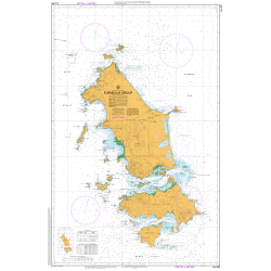
Description
Armstrong 1:50k Topo Map
The Armstrong 1:50,000 Topographic Map is dominated by truwana / Cape Barren Island.
Also included are the northern part of Clarke Island, Anderson, Long, Preservation, Forsyth and Passage Islands. The highest point of Mount Munro (711m) overlooks the Cape Barren Island settlement. The Sydney Cove Historic Site, at the southern tip of Preservation Island, played a role in the early navigation and charting of Tasmania by Lt. Matthew Flinders. Contact the Cape Barren Island Aboriginal Association (CBIAA) for information on accessing truwana / Cape Barren Island.
For a map of Flinders Island on one sheet, see the Flinders Island 1:100,000 Topographic Map.
A current index of the Tasmanian 1:50,000 mapping series can be found HERE.