Description
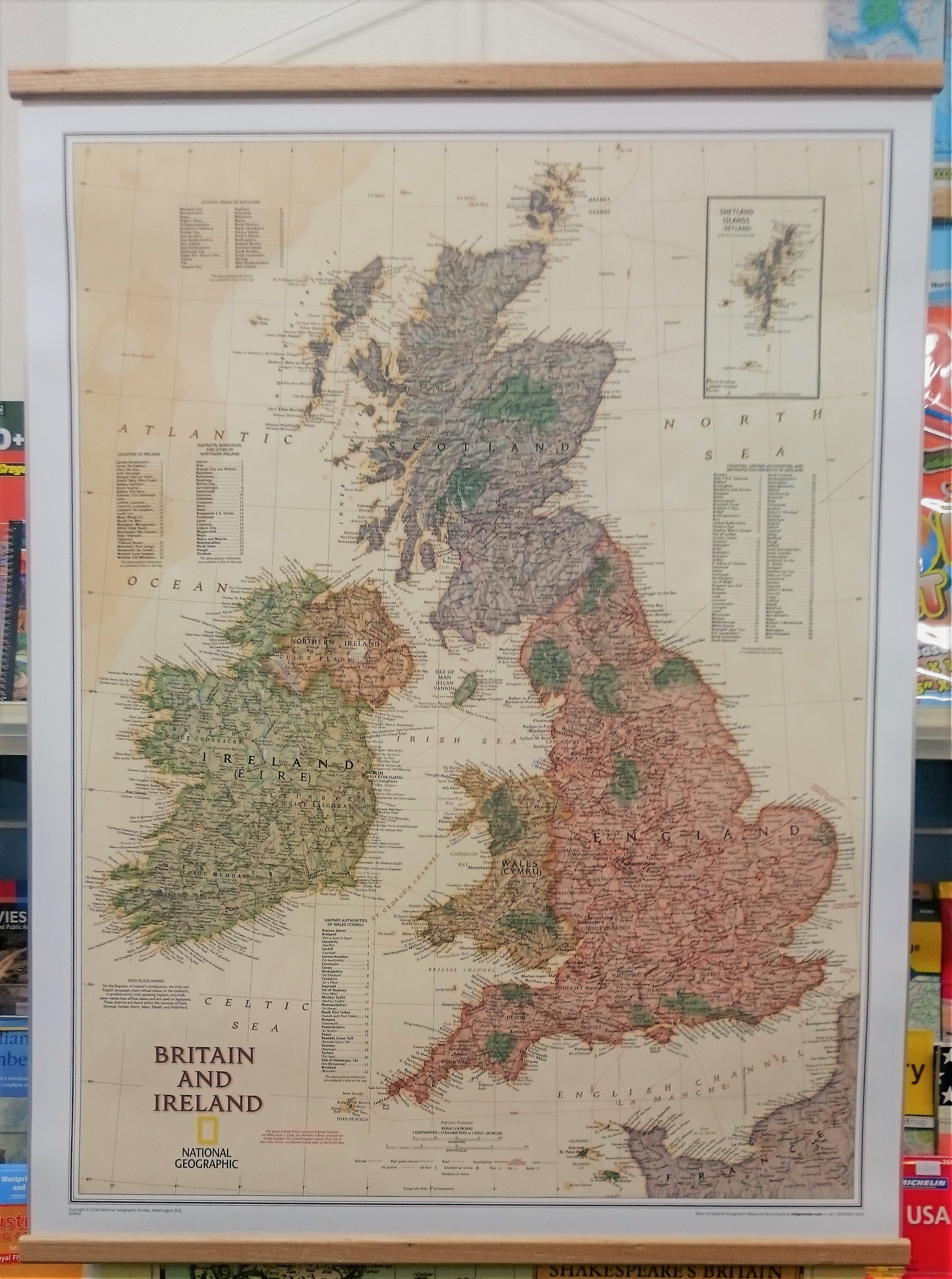
Britain & Ireland Executive Pinboard
The Britain & Ireland Executive Pinbaord is both an attractive and practical addition to your home and an informative tool for documenting your travels.
The map features thousands of place names, major highways and roads, airports, ferry routes, bodies of water, and more.
Handy indexes make it easy to identify the counties, districts, council areas, unitary authorities, and metropolitan districts of Ireland, Northern Ireland, Scotland, Wales, and England.
An inset provides detail of the Shetland Islands and National parks are clearly indicated in green vignettes with shaded relief revealing the interesting and varied topography of these island nations.
English and Gaelic (Irish) share official status per the Republic of Ireland’s constitution, so place names are rendered in both. In the Gaeltachtl, or predominantly Irish-speaking regions, only Irish place-names have official status and are used on signposts. These districts are found within the counties of Cork, Donegal, Galway, Kerry, Mayo, Meath, and Waterford.
This product is made to order, allow 1 to 2 weeks to be ready. Pins are not included.