Description
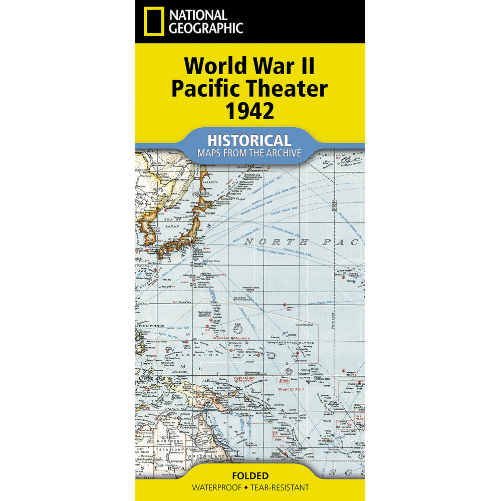
WWII Pacific Theater Historical Map
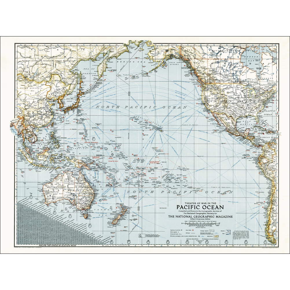
Step into a pivotal moment in history with this reproduction WWII Pacific Theater Historical 1942 Map, originally published in February 1942, just weeks after Pearl Harbor.
Spanning a vast ocean and islands separated by thousands of miles, the map captures the urgency of the Pacific Theater and charts key islands, ship routes, naval bases, and outposts like Midway and Iwo Jima – that would soon become indelible names in the Pacific campaign.
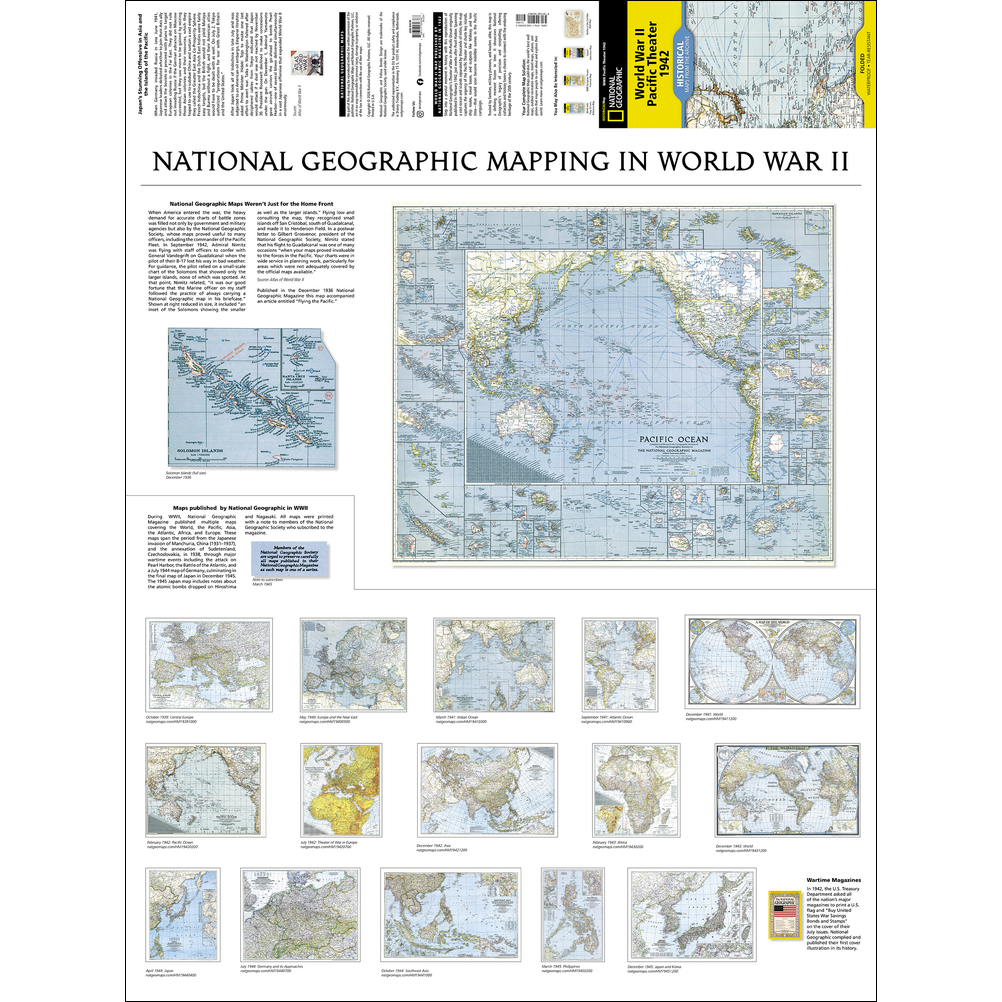
Trusted by families, military planners, and leaders alike, this map is a defining moment frozen in time. It showcases National Geographic’s legacy of precision and storytelling, offering collectors and history lovers a chance to connect with the enduring heritage of the 20th century.
Every Map from the Archive is printed on durable synthetic paper, making them waterproof, tear-resistant and tough – capable of withstanding the rigors of repeated folding and unfolding.
Available in our Hobart store and online at Geographica.

Reviews
There are no reviews yet.