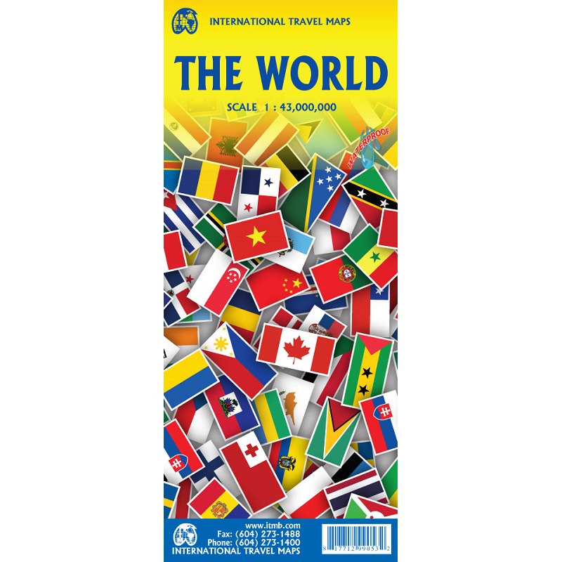
Description
World & Flags Travel Reference Map
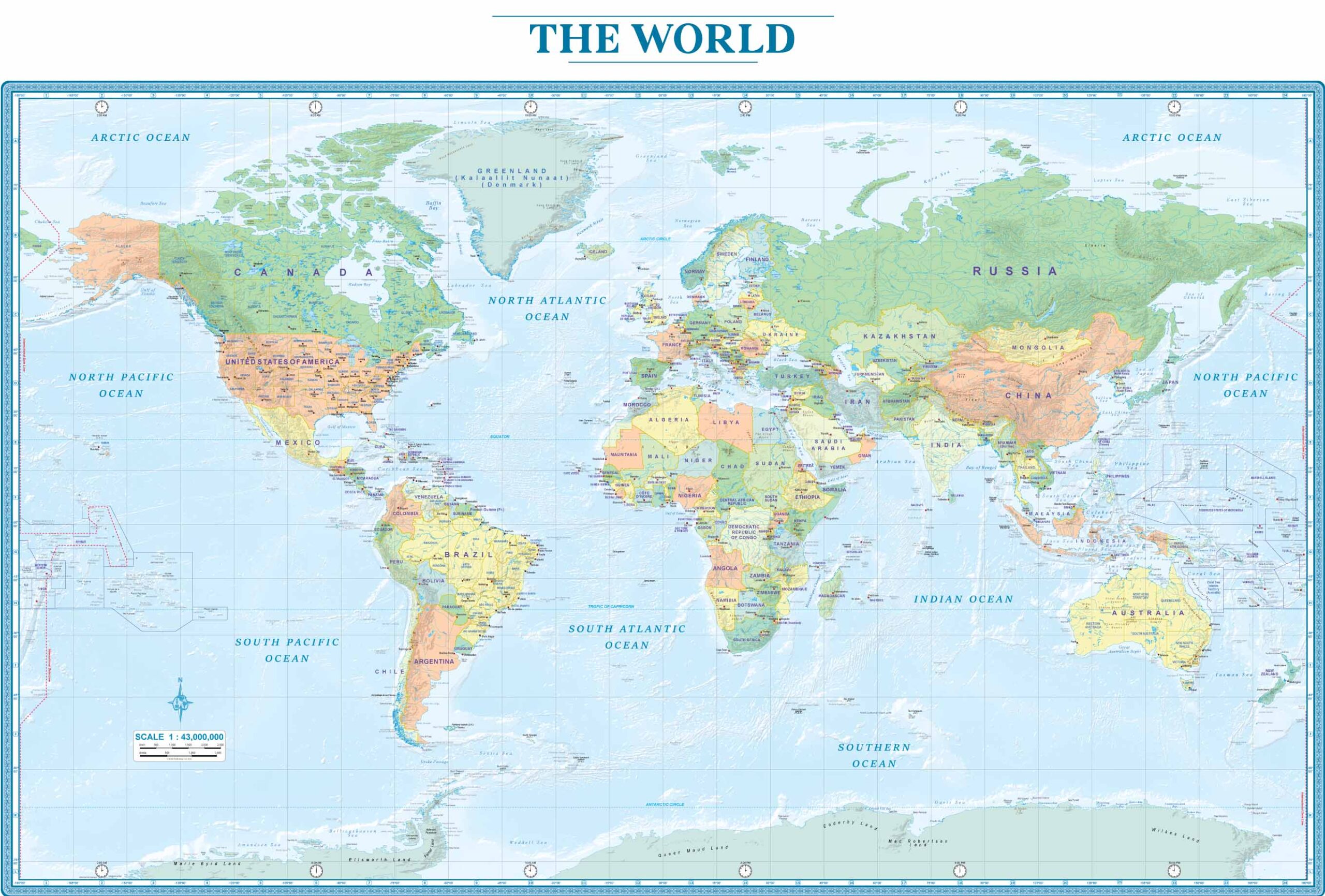
This World & Flags Travel Reference Map portrays the world politically, with large countries showing provincial/state boundaries, as well as a good selection of cities.
A map of the world involves a certain amount of political juggling in order to be acceptably accurate while noting areas of political sensitivity Thus, Ukraine is shown with its traditionally accepted borders, despite Russia’s incursions; Gaza is far too small to show, but Palestine is named. Taiwan is in a different colour than mainland China, and Western Sahara is noted by colour but not named. Basic time zone clocks are noted at various parts of the margin.
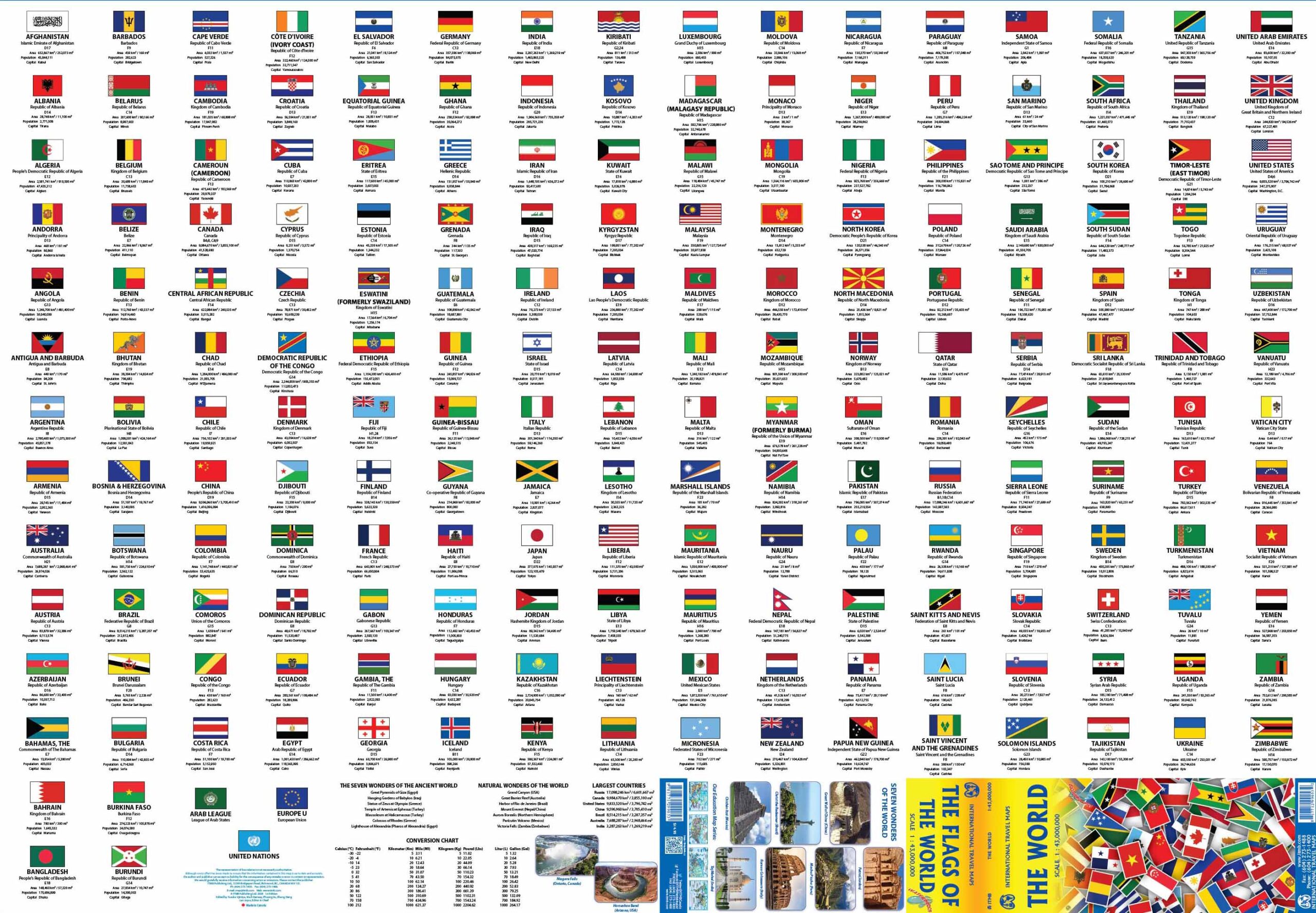
Side 2 shows the flags of all accepted countries in the world, alphabetically arranged, with the location of each entity noted as to where it is on the map side, along with basic information as to area, capital city, and population.


Reviews
There are no reviews yet.