Description
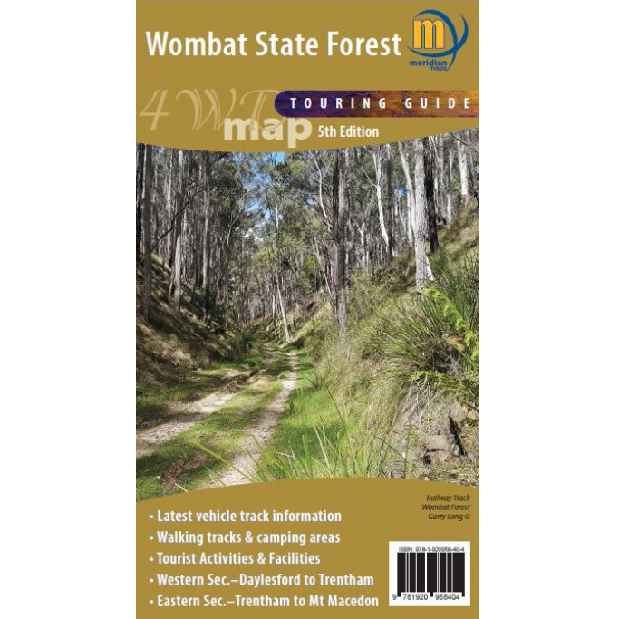
Wombat State Forest Touring and 4WD Map
The Wombat State Forest Touring Map is a double-sided 1:50,000 scale map covering the entire Wombat State Forest from Daylesford through to Woodend and the Macedon Ranges.
It is an ideal 4 wheel drive map of this area of the Victoria High Country, highlighting all the tourist activities and features of the region such the wineries, mines, mineral spas, picnic grounds and more.
It Includes the Great Dividing Trail and Wombat Forest Drive. Ideal touring map for four-wheel driving, holidaymakers, bushwalkers and day-trippers.

Reviews
There are no reviews yet.