Description
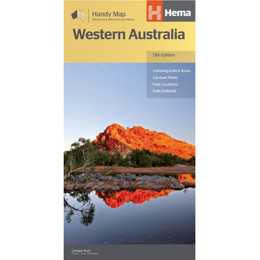
Western Australia Handy Road Map
The Western Australia Handy Road Map is a fully indexed map of Western Australia at a scale of 1:1,750,000.
This map includes a distance grid and index for planning and reference.
Marked on the mapping are highways, major and minor roads, camping and rest areas, 24-hour fuel, information centres, picnic areas, caravan parks and lookouts.
This map is the same map as the Western Australia Map from Hema, however it is split in half and printed on both sides of the map, making the unfolded sheet smaller in size.


