Description
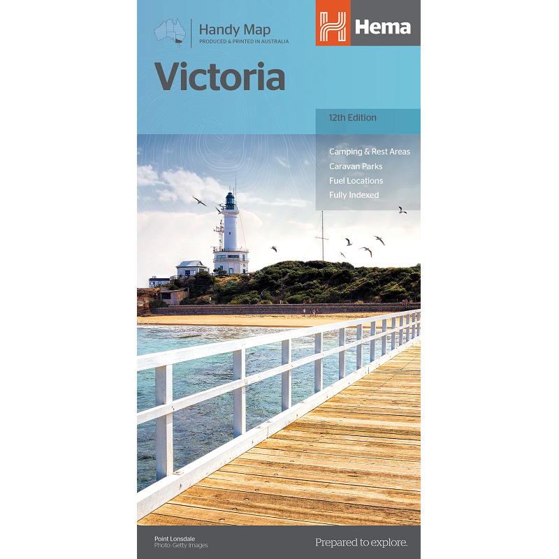
Victoria Handy Map
The Victoria Handy Map is a compact map of Victoria for touring throughout the state with a distance grid and index for planning and reference. The mapping itself is identical to the Victoria State Map, however is split and printed on both sides of the map, making it more compact in size.
Marked on the map are highways, major and minor roads, points of interest, information centres, picnic areas, caravan parks and lookouts.


