Description
USA Executive Wall Map
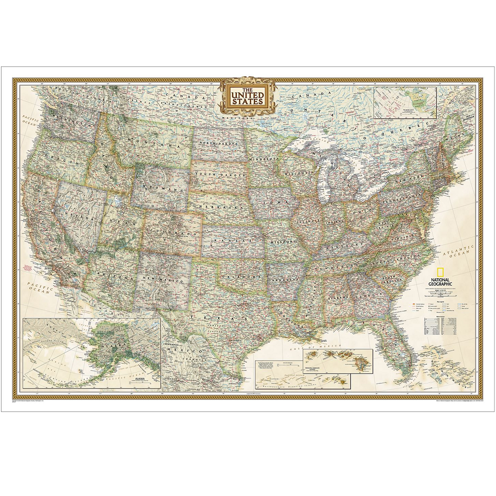
The USA Executive Wall Map is a reference map of the United States featuring all 50 States with insets for Alaska and Hawaii in antique-executive cartographic style.
Each state is coloured to clearly define borders and shaded relief accentuates geographical features.
All major cities, transportation routes, state boundaries, National Parks, lakes and rivers, and mountain ranges are clearly displayed and labeled.


