Description
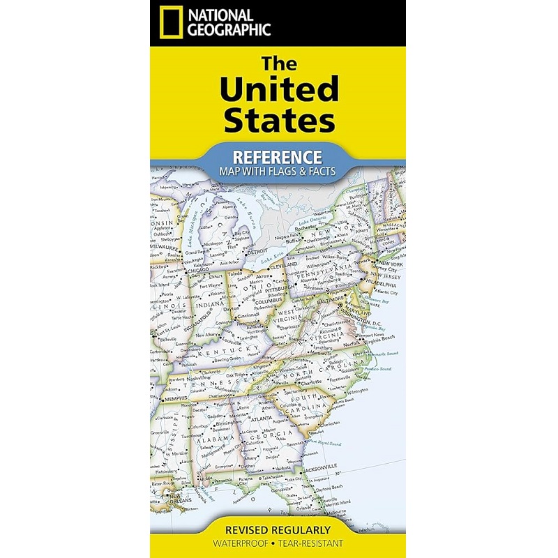
United States Reference Map with Flags & Facts
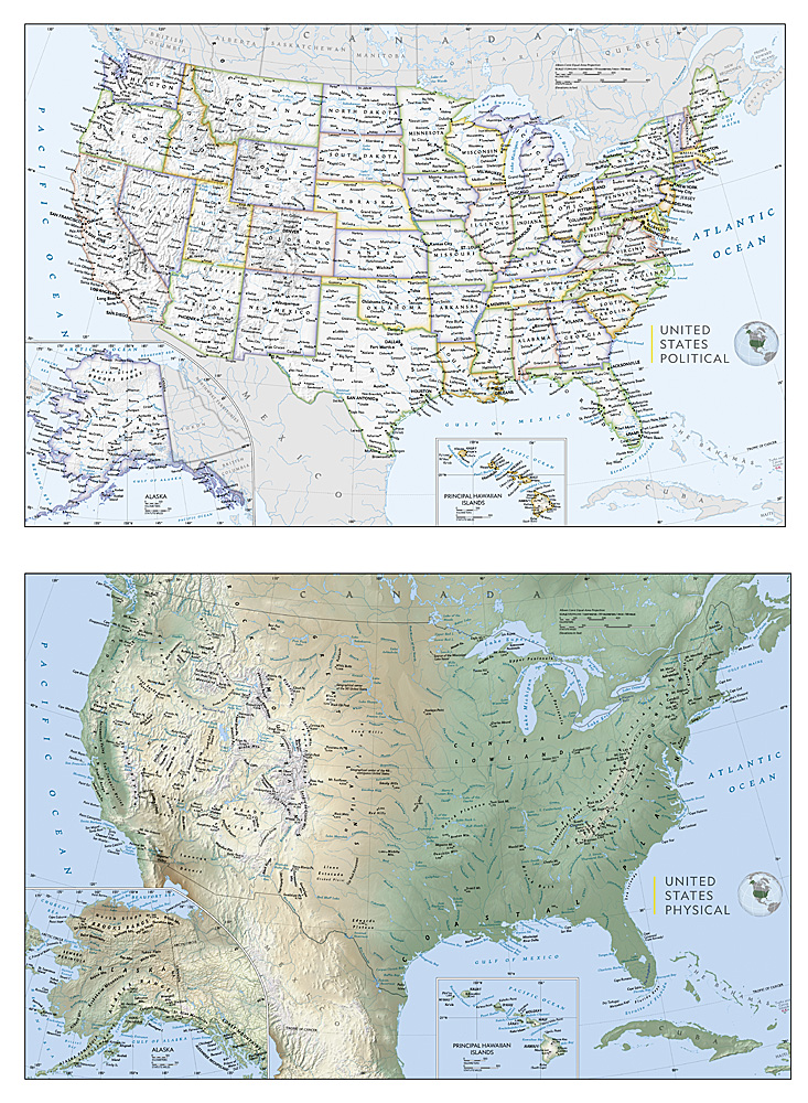
Expertly researched and designed, National Geographic’s United States Flags & Facts Map is the authoritative map of the USA by which other reference maps are measured. The map side includes a political map showing states, cities and other landmarks and a physical map shows the landforms such as mountain ranges and rivers.
- Clearly defined boundaries, major cities, and physical features
- Hundreds of place names
- Includes all 50 states with inset maps for Alaska and Hawai’i
- Detailed physical map of the United States with mountain ranges, plains, lakes, and rivers
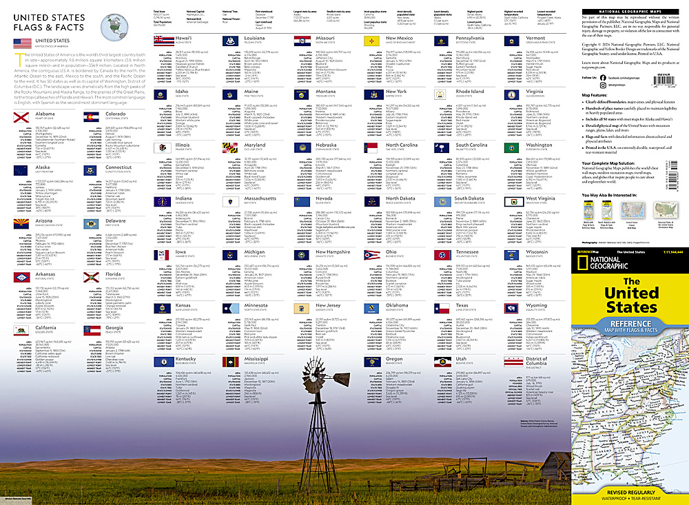
- Flags and facts with detailed information about cultural and physical attributes
- Printed in the U.S.A. on extremely durable, waterproof, and tear-resistant material
This Reference Map is printed on durable synthetic paper, making it waterproof, tear-resistant and tough — capable of withstanding the rigors of use in the home or classroom.


Reviews
There are no reviews yet.