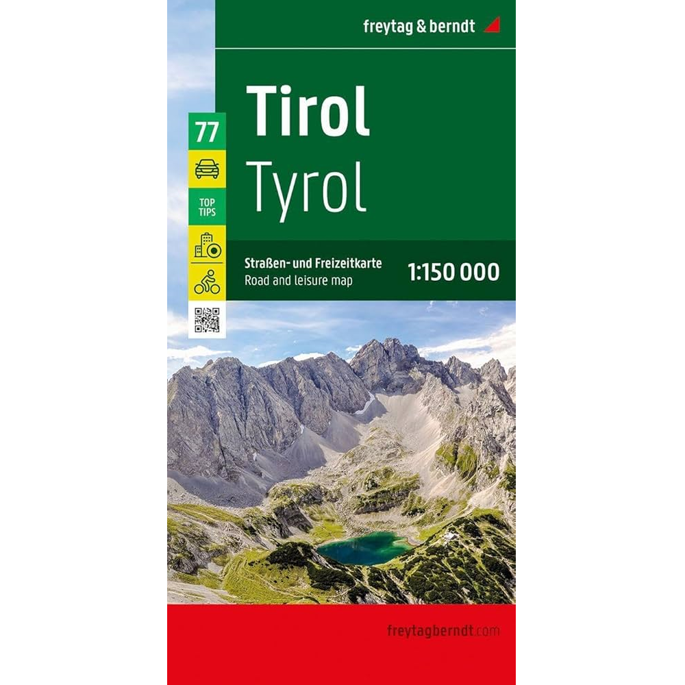
Description
Tyrol Road and Leisure Map
The Tyrol Road and Leisure Map from Freytag and Berndt helps you explore the stunning region of western Austria. With a scale of 1:150,000, it’s the perfect tool for planning your trip and finding your way as you go.
This map includes:
- Detailed road and rail networks
- Regional and long-distance cycle paths
- Tourist routes and scenic drives
- Long-distance hiking trails
- Camping and RV sites
- Automobile club breakdown service locations
- A city map of Innsbruck
Top Tips
The map also features a special “Top Tips” section, highlighting 10 must-see destinations in Tyrol – with text in both German and English.
Highlights include:
- The historic Old Town of Innsbruck
- Kufstein Fortress and Landeck Castle
- Karwendel Nature Park
- Schwaz Silver Mine and the Ötzi Village in Umhausen
Scenic routes like the Silvretta High Alpine Road, Sisi Road, and Zillertaler Höhenstraße make this map especially useful for road-trippers and motorcyclists.
Map size unfolded: 137.5 x 94 cm
Whether you’re hiking, cycling, or hitting the road, this map is your ideal travel companion in Tyrol.


Reviews
There are no reviews yet.