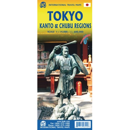
Description
Tokyo Travel Map
The Tokyo Travel Map consists of a detailed 1:14,000 scale map of central Tokyo on one side, and a regional 1:600,000 scale map of central Japan on the other. It is printed on waterproof paper, making it durable and practical for your journey.
One side of this map covers the touristic centre of a vast urban complex, from Higashi in the north to Shibuya in the south, and from the Shinjuku Shopping District in the west to the Asakusa Historical District in the east. It is marked with main buildings, hotels, shopping areas, historical attractions, temples, palaces, and transit connections, such as the monorail to Haneda Airport.
Side 2 is a regional map of central Honshu Island, from Osaka to Koriyama, providing excellent coverage of central Japan from Narita Airport to Kyoto/Nara, showing shinkansen fast-rail lines as well as ordinary train lines.


Reviews
There are no reviews yet.