Description
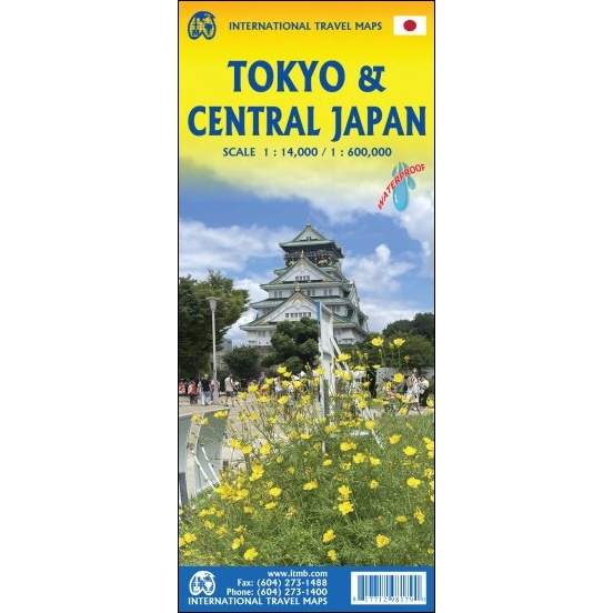
Tokyo Travel Map
The Tokyo Travel Map consists of a detailed 1:14,000 scale map of central Tokyo on one side, and a regional 1:600,000 scale map of central Japan on the other. It is printed on waterproof paper, making it durable and practical for your journey.
This map covers the touristic centre of a vast urban complex, from Shinjuku in the west to Asakusa in the east and from the Ginza north to Ikebukuro. The streets, rail lines, and rapid transit lines are all shown, as well as a large inset map showing the many transit rail options throughout the Tokyo region. The city includes an anomaly unlike any other city. In most of it, there are no street names, just neighbourhoods and districts, so names such as Ginza, Shibuya, Chiyoda, and Bunkyo become essential to determine where one is in the urban area. We have tried to name all these subdivisions. When in doubt, rely on subway station names.
Side 2 is a regional map of central Japan, centred on the Tokyo urban agglomeration. Essentially, it covers Kanto and Chubu Provinces (hence the name on the cover) and covers such touristically important aspects as Mount Fuji, Nagoya, Kyoto, and Osaka.

Reviews
There are no reviews yet.