Description
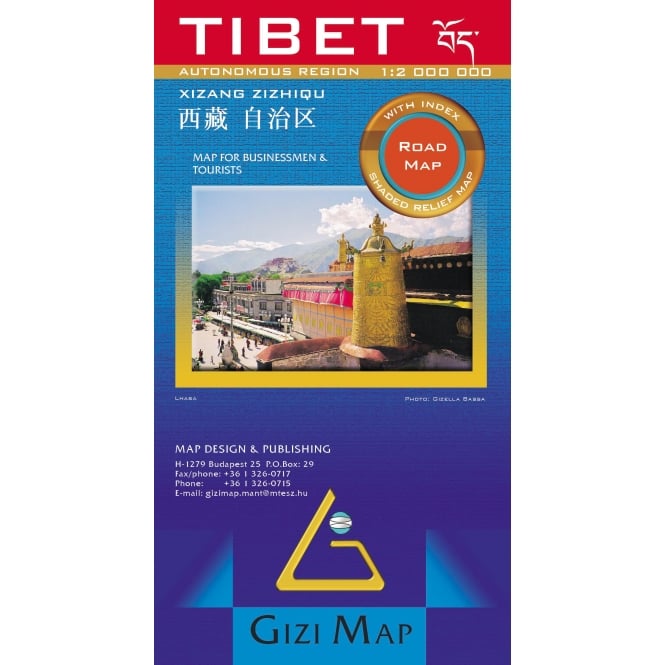
Tibet Road and Terrain Map
The Tibet road map from Gizi shows various categories of roads including selected tracks, with intermediate driving distances marked on many routes.
Also indicated are; railways, shipping and ferry lines, and local airports. Province boundaries are indicated and national parks are highlighted.
Symbols marks landmarks and features such as tombs, monasteries, churches, temples, ruins, UNESCO sites including the Great Wall, and other places of interest.
Most place names are also shown in local versions, with the Tibetan language included in the multilingual legend. The maps extend south to include the whole of Nepal and Bhutan.
Place names are shown in two or three versions (in the Latin alphabet transliteration of the Chinese and the Tibetan versions, plus for larger places also in Chinese).


Reviews
There are no reviews yet.