
Description
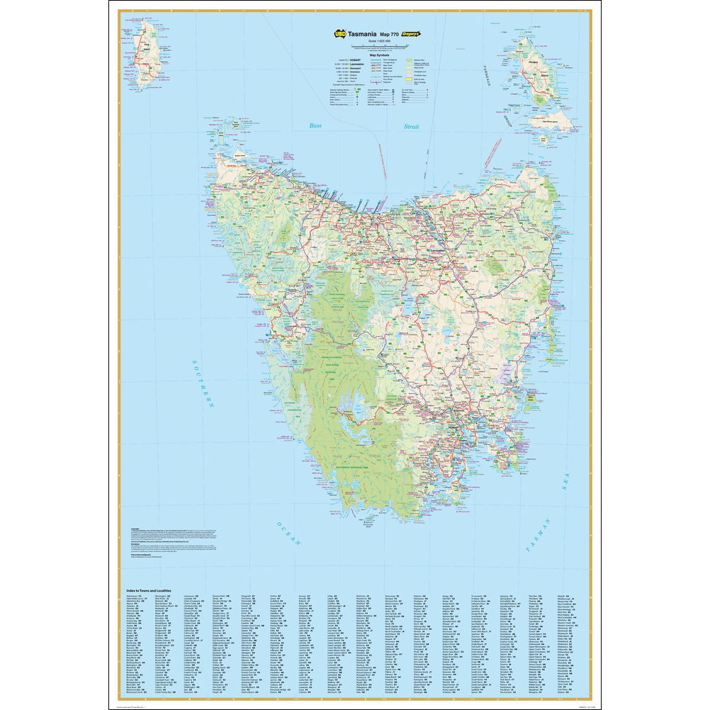
Tasmania State Wall Map 770
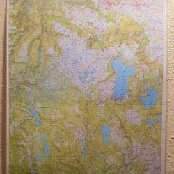
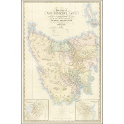
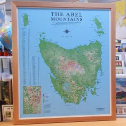
The Tasmania State Wall Map 770 from UBD Gregory’s provides a clear overview of the state in 1:625,000 Scale.
It’s a fully-indexed map that uniquely shows King Island in its geographical position in relation to the Tasmanian mainland. It clearly shows dual carriageways, national highways, and other roads, distances between towns, route numbers, towns with an indication of the size of each town and also comprehensive listing of towns & localities.
Also included are Visitor Information Centres, National, State & Marine Parks . This is an easy to read map that will help you find your way around Victoria with ease and is ideal for both travel & business. Maps are also available for other Australian states & territories for a comprehensive coverage of Australia.
This map is available a paper-only, laminated, and laminated with timber hanging rails attached.
Available to order in store and online at Geographica.
Reviews
There are no reviews yet.