Description
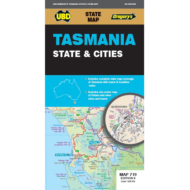
Tasmania State & Cities Road Map 719
The Tasmania State & Cities Road Map is Waterproof and features a 1:625,000 map of Tasmania on one side of the map.
On the other side of the map, there is street level mapping for Hobart, Launceston, Devonport, Penguin, Burnie, Bicheno, Deloraine, Stanley, St Helens, Strahan, Ulverstone, Oatlands, Queenstown & Bruny Island.


