Description
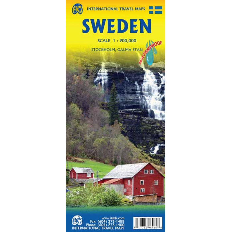
Sweden Road & Travel Map
The Sweden Road & Travel Map is printed on waterproof paper, is double sided, (south half/north half) in ITMB’s traditional colours. It depicts elevations and roads, urban areas, attractions, airports, viewpoints, ferry routes, castles and everything else that visitors should want.
The road information is very clearly shown, with motorways in blue, divided roads in green, major highways in orange, and secondary routes in red.
City maps of Stockholm and Galma Stan are included.
The bridge from Copenhagen is shown as well as approach roads through Denmark, but only northern areas of Norway and a bit of Finland could be included in order to provide maximum coverage.


Reviews
There are no reviews yet.