Description
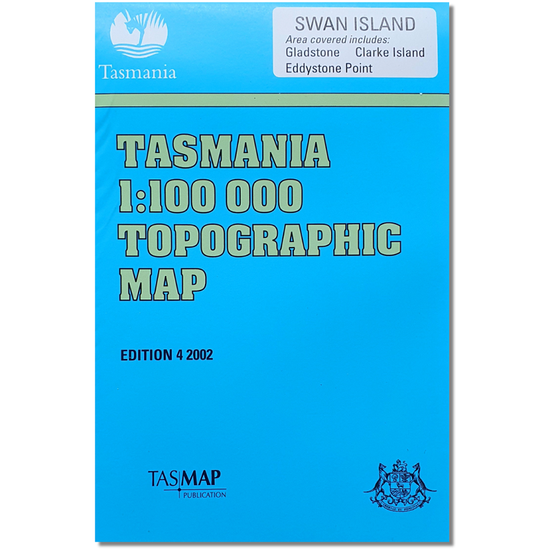
Swan Island 1:100,000 Topographic Map
The Swan Island 1:100,000 Topographic Map covers an area in the north east of Tasmania. Available folded as paper or laminated versions, you can find this map online and in store.
This series of maps has been archived, meaning they are no longer updated or produced. They are still available for sale until printed stocks on hand with the supplier are depleted. As such, some from this series are no longer available.
Features on this map: Clarke Island, Swan Island, Mt William National Park, Great Musselroe Bay, Eddystone Point, Cape Naturaliste, Stumpys Bay, Deep Creek.
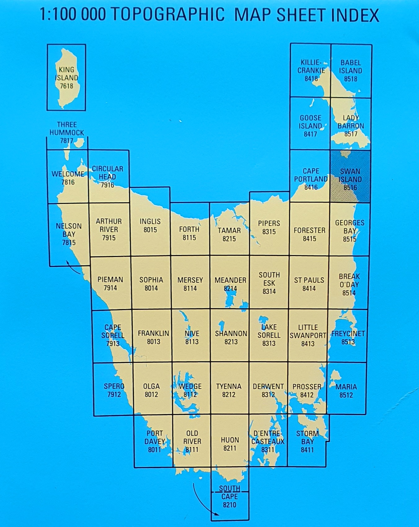
Other maps covering this area:


Reviews
There are no reviews yet.