
Description
Sumatra Travel Map
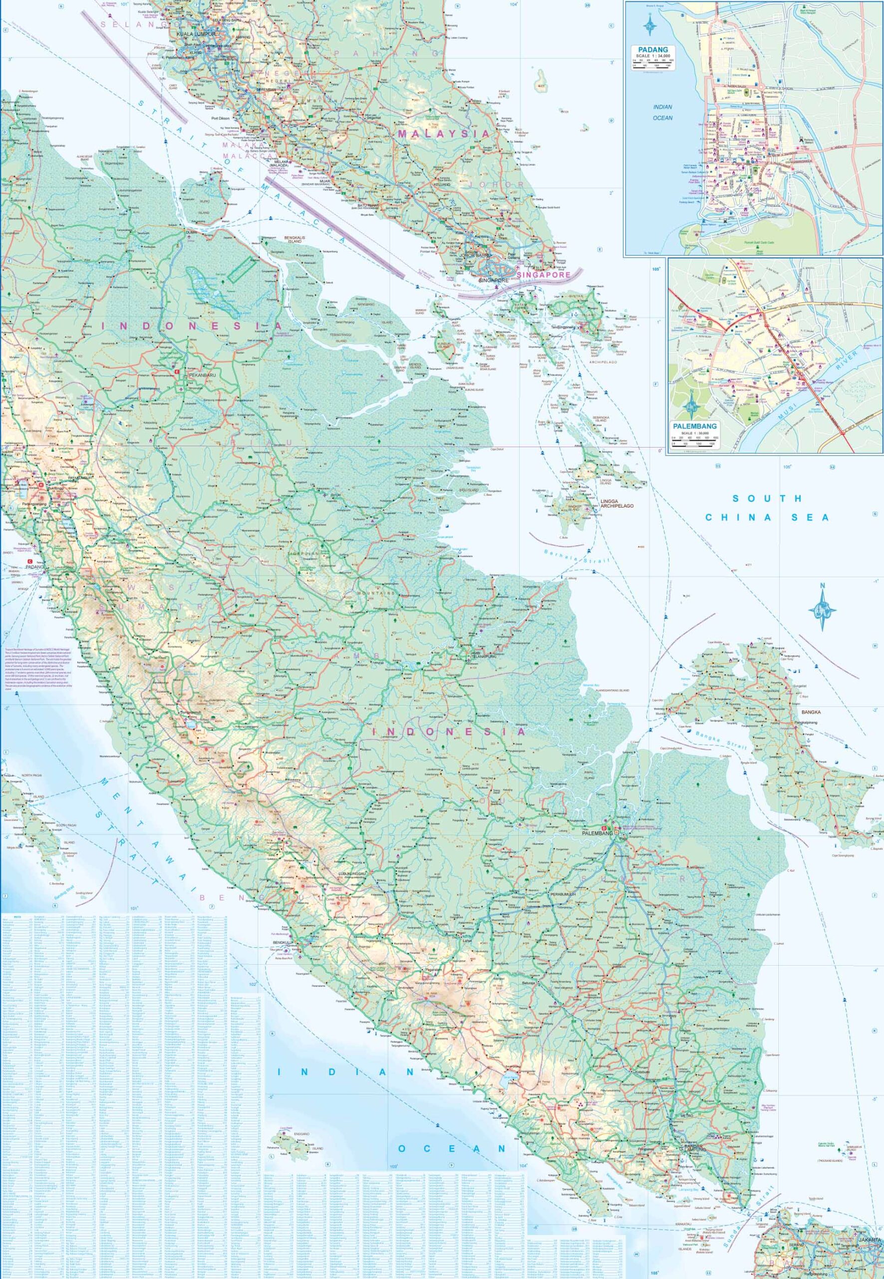
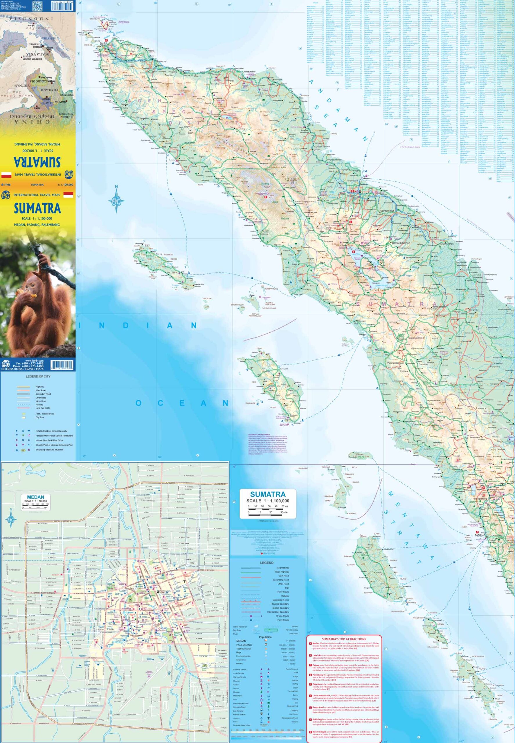
This Sumatra Travel Map from ITMB is a double-sided road and reference map of the island in 1:1,100,000 scale.
Side 1 shows the northern portion of Sumatra, with an excellent inset map of Medan, its major city. Several offshore islands are included, as well as a significant Top Attractions list.
Side 2 shows the bulk of the island as well as a portion of southern Malaysia, Singapore, and various islands in the vicinity. Ferry routes to Java, Malacca (part of Malaysia), the Lingga and Riau Archipelagoes and Singapore are included, as well as inset maps of Padang and Palembang, the two major cities in the south.
Sumatra has a well-developed road network along its western side, but not along its eastern portion, except in the far north. Thus, the island remains a place for adventure travel waiting to be discovered.


Reviews
There are no reviews yet.