Description
Sudan & South Sudan Map
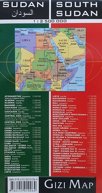
The Sudan & South Sudan Map from Gizi Maps is a single-sided, fold-out, fully-indexed travel and reference map in 1:2,500,000 scale.
Sudan, officially the Republic of the Sudan, is a country in Northeast Africa. It shares borders with the Central African Republic to the southwest, Chad to the west, Egypt to the north, Eritrea to the northeast, Ethiopia to the southeast, Libya to the northwest, South Sudan to the south and the Red Sea.
South Sudan, officially the Republic of South Sudan, is a landlocked country in Central Africa. It is bordered by Ethiopia, Sudan, Central African Republic, Democratic Republic of the Congo, Uganda and Kenya. Its population was estimated as 12,778,250 in 2019. Juba is the capital and largest city.


Reviews
There are no reviews yet.