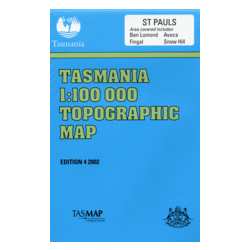
Description
St Pauls 1:100,000 Topographic Map
St Pauls 1:100,000 Topographic Map is named for the St Pauls river that runs through the map. It covers an inland area on the mid east coast of Tasmania.
Features include the towns of Avoca, Rossarden, Fingal and Duncan.
Ben Lomond National Park is featured to the north.