Description
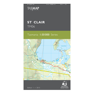
St Clair 1:50,000 Topo Map
The St Clair 1:50,000 Topographic map covers the southern portions of Walls of Jerusalem National Park and Cradle Mountain Lake St Clair National Park.
This map is in ideal navigation aid for walkers and wilderness fisherman accessing the lakes west of Bronte Park and covers the final stages of the Overland Track.
Features on this map include The Du Cane Range, Mt Rufus (1416m), Mt Olympus (1472m), Mt Othrys (1279m), Mt Ida (1241m), Mt Hugel (1403m), Derwent Bridge, Doughboys Hill ( 1195m), Layatinna Hill (1222m), Burburys Lookout (1133m), the Central Plateau Conservation Area, Bronte Park, Pine Tier Lagoon and Pine Tier Dam, Mt Charles (1046m), The Hippogriff (1109m) and The Chimera (1111m).

