Description
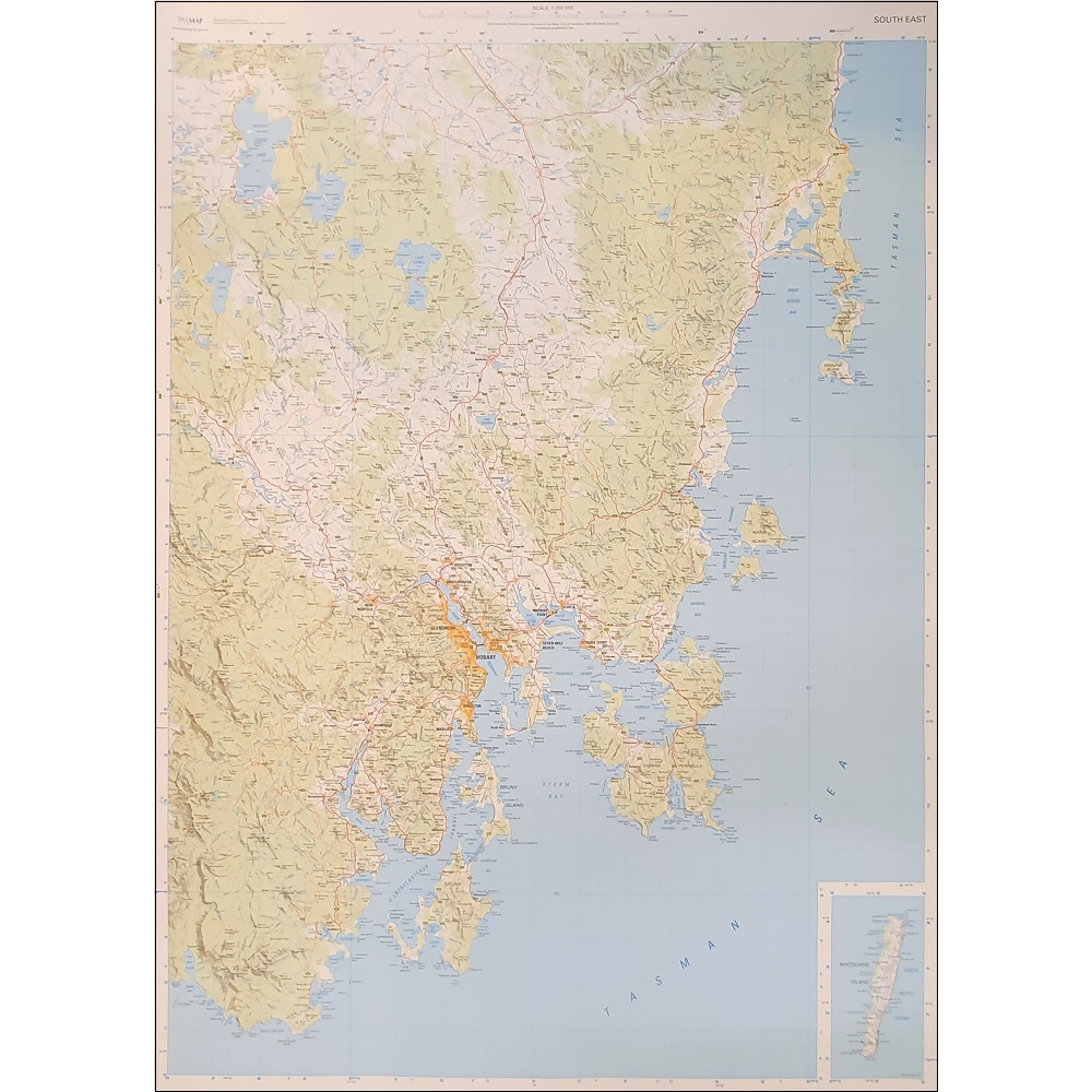
South East Tasmania Topographic Map (Flat)
The South East Tasmania 1:250,000 Topographic map is recommended for regional planners and visitors intending to travel a little off the beaten track. This product when laminated and hung with Tasmanian Oak hangers has proven a popular product for those with AirBnB’s around Hobart.
This is one of a series of 4 maps covering all of Tasmania and includes Macquarie Island. Individual maps cover an area of approximately 37,000km2
The map is popular with drivers, cyclists and people wanting a regional overview of an area. The maps are available in folded and flat form and may be joined together to create an impressive wall map.


