Description
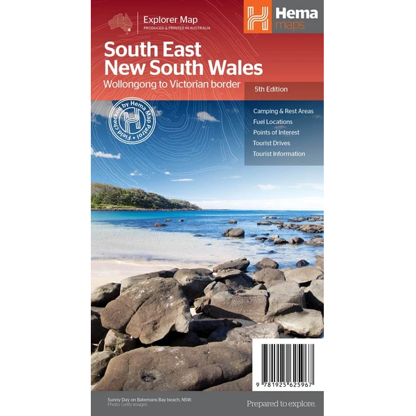
South East New South Wales Road Map
The South East New South Wales Road Map is a regional road map of the area between Wollongong down to the Victoria border, and out to Gundagai and past Jindabyne in the West.
Covered regions in the map include; Illawarra, Jervis Bay & Shoalhaven, Batemans Bay, Canberra & surrounds, Merimbula & Sapphire Coast, Southern Highlands, Goulburn Region and the Snowy Mountains. On the opposite side is extensive information on numerous regions, including visitor, historical and background information.
Features:
- Comprehensive map of South East New South Wales
- Camping & rest areas
- Fuel locations
- Tourist drives
- Detailed National Park Listing with facilities
- Tourist Information Centres




Reviews
There are no reviews yet.