
Description
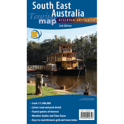
South East Australia Wall Map
Covering Australia’s most populated and travelled region, this large-format South East Australia Wall Map from Meridian Maps is an invaluable tool for both business and leisure.
Spanning from Port Augusta (SA) in the west to Newcastle (NSW) in the north, and encompassing all of Victoria in the south, this detailed map provides broad geographic coverage with precision and clarity.
Ideal for frequent travellers, logistics planning, or office display, this map features:
- Clear road networks and major transport routes across South Australia, Victoria, and New South Wales
- Comprehensive town and locality listings
- A handy Distance Grid for fast travel estimates
- Road Distance and Time Travel Guide to assist with route planning
- 98cm x 75cm (Regular), 117cm x 90cm (Large)
Perfect for commuters, regional planners, educators, and businesses operating across state lines, this wall map brings the South East of Australia into sharp focus.

Reviews
There are no reviews yet.