Description
Russia Road Map
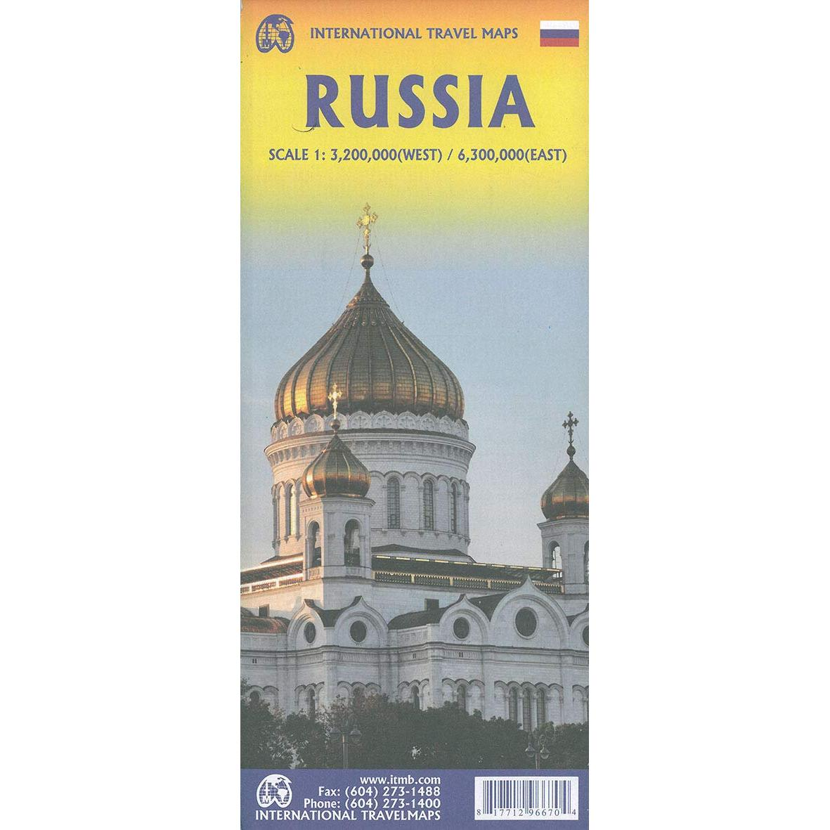
Russia Road Map by ITMB presents the country at 1:6,300,000 and 1:3,200,000 on a double-sided, indexed map. Street plans of central Moscow and St. Petersburg. The map divides the country east – west, with the European side extending well beyond the Urals to Krasnoyarsk and the Yenisei. Names of numerous mountain ranges are given and altitude colouring provides some indication of the topography, although rather faint colouring makes the Urals barely visible!
The map shows the country’s road and rail networks – it seems a pity that railway lines are not more prominently marked and easier to follow, since this map covers the whole of the Trans-Siberian route. The map also shows the country’s sub-divisions with names of the administrative regions. All place names are in the Latin alphabet only. The map, drawn using the Lambert Conformal Conic Projection, has latitude and longitude lines at 5º intervals. Each side has a separate index.
Street plans shows central Moscow and St. Petersburg, highlighting main sights.


Reviews
There are no reviews yet.