Description
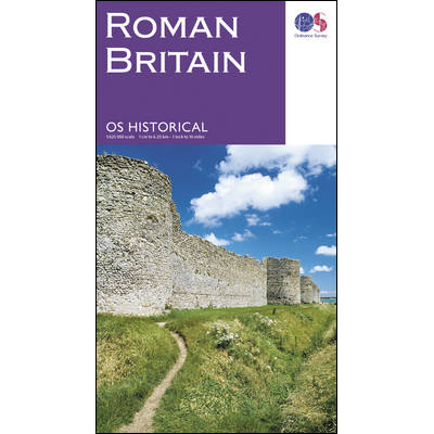
Roman Britain Map
This Roman Britain Map from Ordnance Survey covers Roman Britain’s sites, monuments and related museums overprinted on a large, double-sided present day map of the country. A 1:625,000 scale, it includes plus numerous panels, maps and photos providing extensive additional information.
The base map has altitude colouring to indicate the topography and shows the present day road network. Roman towns are marked, plus smaller settlements, villas and other substantial buildings, shrines, barrows or mausoleums, etc. Also indicated are various types of military installations, roads, aqueducts, mines, etc. Where appropriate, places are annotated with their Roman names. The map is overprinted with British National Grid.
Surrounding the map are numerous panels, maps and photos providing further information on archaeology, Roman military organization, urban settlements, industrial sites, religion including Christianity in Roman Britain, etc, plus recommendations of sites and museums to visit, a chronological table placing British events in a wider historical context, etc.
The map has been compiled by the national heritage bodies maintained by Historic England, Historic Environment Scotland and the Royal Commission on the Ancient and Historical Monuments of Wales.


Reviews
There are no reviews yet.