Description
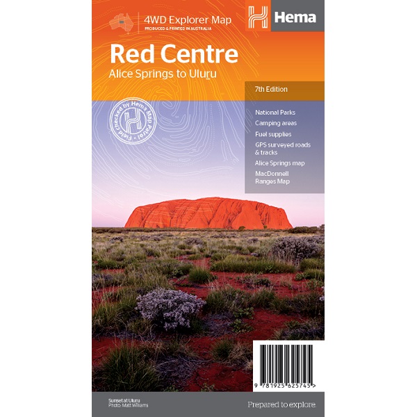
Red Centre Map – Alice Springs to Uluru
The Red Centre Map is a regional map of the Red Centre covering from Alice Springs to Uluru.
From their popular 4WD Explorer series of maps, this map contains extensive travel and background information on specific regions including Alice Springs and surrounds, Larapinta Drive, West MacDonnell Ranges, East MacDonnell Ranges, the Old Ghan Route, Kings Canyon and Watarrka National Park and Uluru-Kata Tjuta National Park.
Also included are maps of Alice Springs and Uluru-Kata Tjuta National Park, with the latter also including the walking tracks available in the national park.
- GPS surveyed roads and tracks
- National parks
- Fuel supplies
- Camping areas
- Accommodation
- Inset maps


