Description
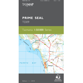
Prime Seal 1:50,000 Topographic Map
The Prime Seal 1:50,000 Topographic Map covers the central western area of Flinders Island and numerous offshore islands and island groups, the largest being Prime Seal Island.
From the much visited Trousers Point in the south, to the main commercial and cultural centre of Whitemark with its nearby airport, northwards to the coastal village of Emita, the area is rich with history and stunning sheltered beaches and bays. This is an ideal map for holiday makers and visitors exploring the numerous conservation areas.
This map is a great resource for those wishing to explore this part of Flinders Island and its stunning vistas and locations.
For a map of Flinders Island on one sheet, see the Flinders Island 1:100,000 Topographic Map.
A current index of the Tasmanian 1:50,000 mapping series can be found HERE.

