Description
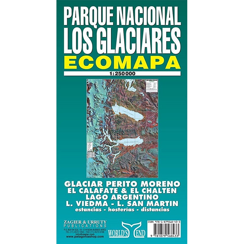
Parque Nacional Los Glaciares Map
Zagier & Urruty’s Parque Nacional Los Glaciares is a topographic map of this region which is located in the area known as Austral Andes in Argentina, in the south west of Santa Cruz on the border with Chile.
Two large lakes, Lago Argentino and Lago Viedma, dominate the central portion of the map, which also features hiking & camping information, plus other information such as inns, tourists services, and the road network.


Reviews
There are no reviews yet.