Description
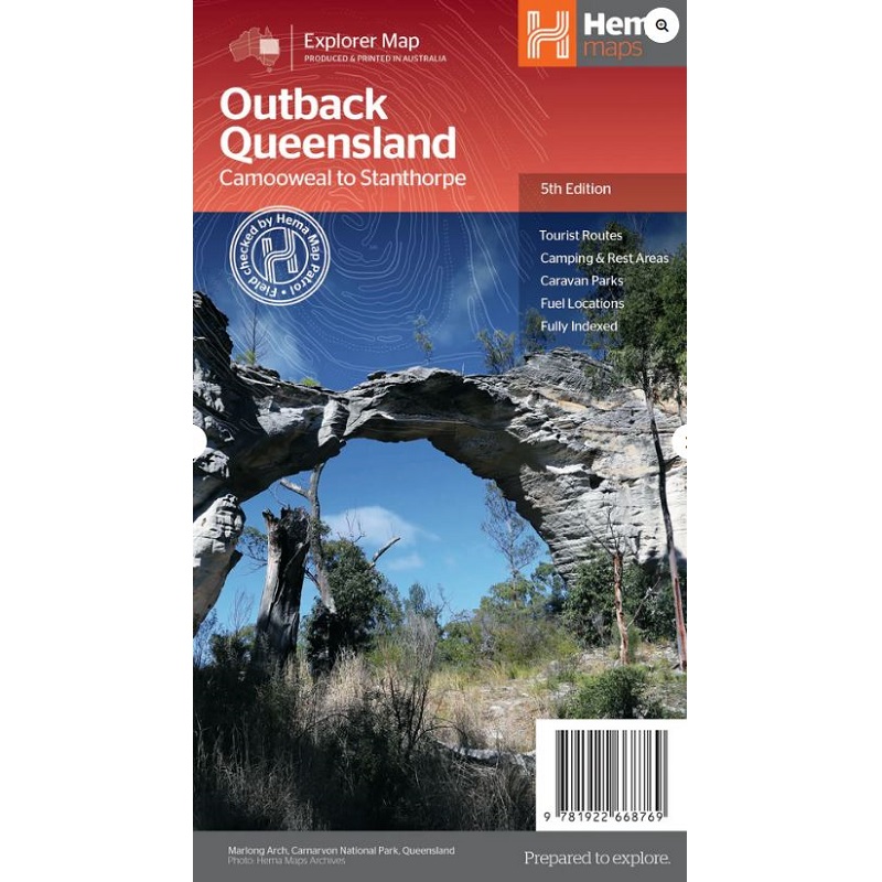
Outback Queensland Map
The Outback Queensland Map contains mapping and visitor information for one of the most iconic regions in Australia.
Mapping at a scale of 1:1,500,000 covers from the inland borders to Toowoomba in the east and Charters Towers in the north, with hill shading and elevation tinting creating a more realistic interpretation of the landscape within the region.
Features:
- Points of Interest
- Caravan Parks
- Camping Areas
- National Park Inset Maps
- Touring Routes
- Fuel
Also included are maps of Bladensburg, Idalia, Currawinya, Diamantina and Carnarvon Gorge national parks.


