Description
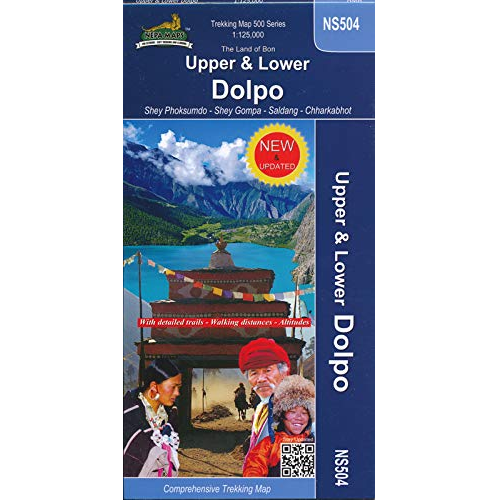
NS504 Upper & Lower Dolpo Nepal Trekking Map
NS504 Upper & Lower Dolpo Nepal Trekking Map in 1:125 000 scale covers an area still one of the magical places in Nepal where you find many Bon Buddhists.
The map covers the region between Kagbeni in the southwest to the Phoksundo National Park in the north east. Treks are the Dolpo Experience circuit, the upper Dolpo Trail, Dolpo Circuit trail and Great Himalaya Trail. Main Places are Dunai / Juphal (Airport) the Phoksundo lake, Shey Gompa and Dho Tarap.
There are nearly no lodges and food is rare so trekking in this area must be organized with tents and porters. If you are tented by this magic region the map will help you to make up your plans and to compare the offers of trekking agencies – or simply to dream a little bit.


Reviews
There are no reviews yet.