Description
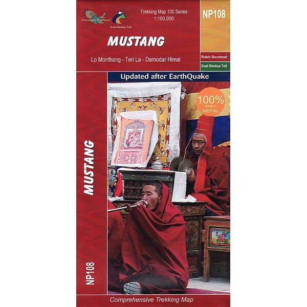
Mustang Trekking Map
The Mustang Trekking Map is a 1:100,000 scale, waterproof and tear-resistant map from Himalayan Maphouse.
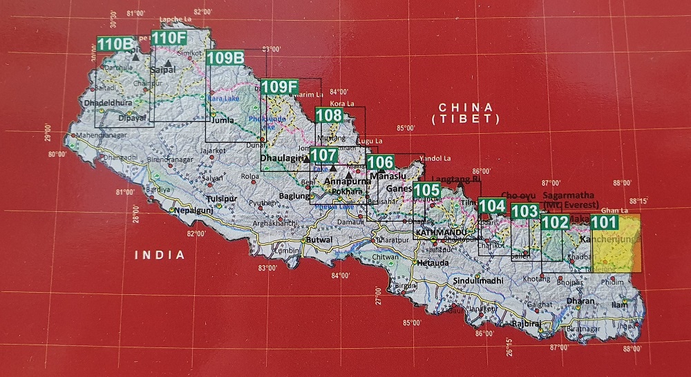
The map shows the region north of the upper section of the Annapurna Circuit, beyond Jomsom/Jomosom and Muktinath, and highlights the route to Garphu, the Mustang to Phu trek, the variant connecting the area with Naar, etc.
Also highlighted is the GHT High Route, part of which overlaps with the Annapurna Circuit. Contours are at 40m intervals.
Route profile shows the Annapurna section of the GHT High Route between Dharapani and Santa.


