Description
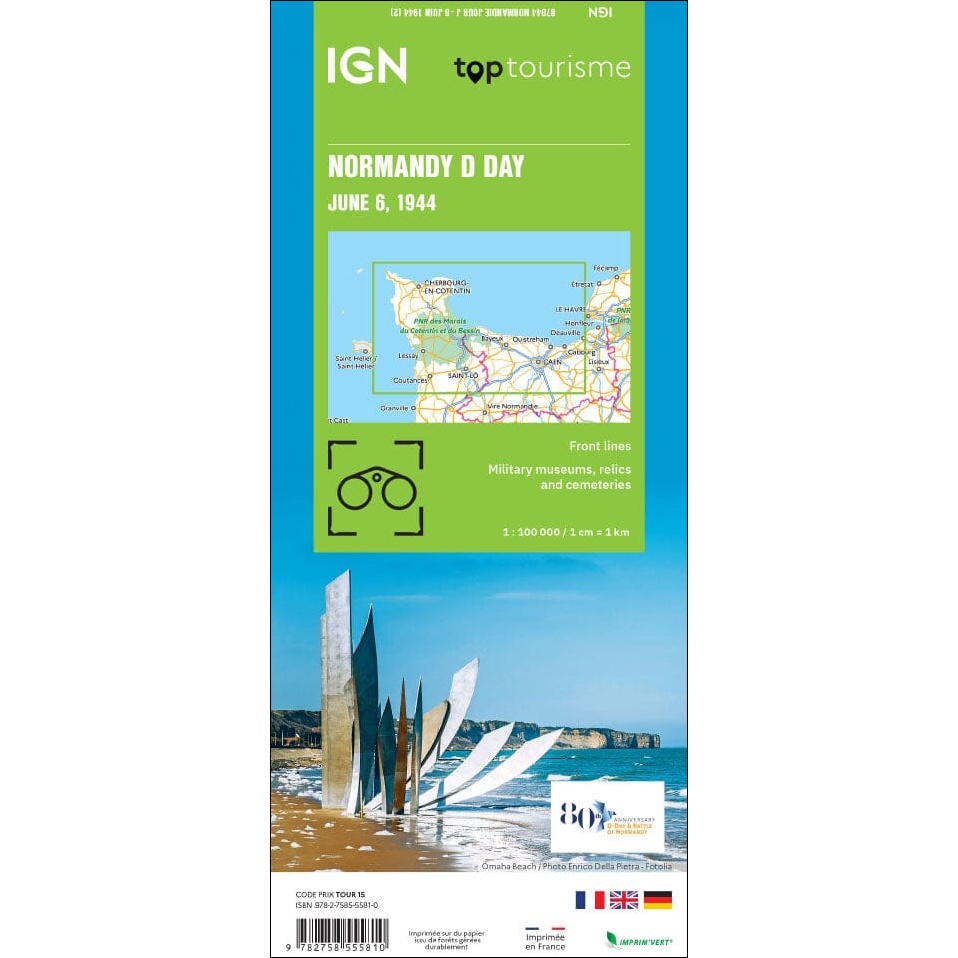
Normandy D-Day: 6 June 1944 Map
The Normandy D-Day: 6 June 1944 Map from IGN was produced in partnership with the “70th Anniversary Battle of Normandy – Terre de Freedom” committee. This detailed, multi-language map combines modern cartography with valuable historical and reference information. It illustrates the D-Day landing beaches, the positions of the various Allied and German army corps, and the progression of the front lines from 6 June to 18 August 1944.
The map also highlights key sites managed by the Conservatoire du Littoral, military fortifications and remains, war cemeteries, memorials, and museums throughout the region. An ideal companion for visitors wishing to explore Normandy’s rich wartime history and commemorate the events that shaped the liberation of Western Europe.
Find in store and online at Geographica.


Reviews
There are no reviews yet.