Description
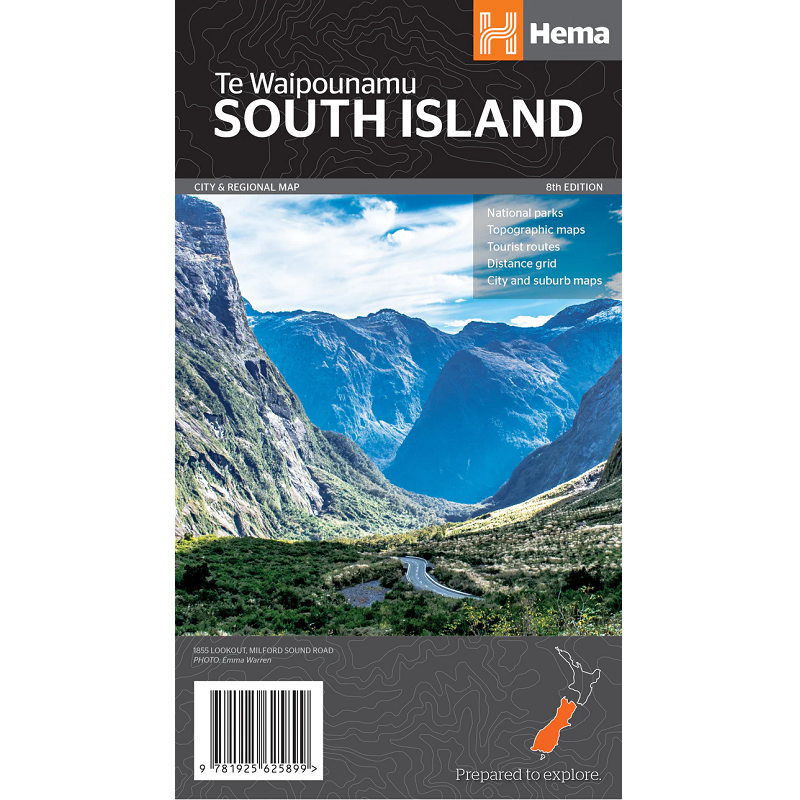
New Zealand South Island Map
The New Zealand South Island Map is a 1:1,100,000 scale travel reference map of the south island of New Zealand sowing points of interest, tourist routes, walking tracks and national parks for touring the island.
On the reverse are city maps of Christchurch, Picton, Nelson, Queenstown, Dunedin, Blenheim and Invercargill, suburbs maps of Christchurch and Dunedin, as well as maps of Fiordland, Kahurangi, Arthur’s Pass and Aoraki national parks. Also included is a distance grid.
Key features
- City maps
- Suburb maps
- National parks
- Road distances
- Conservation areas
- Distance grid
- Index

