Description
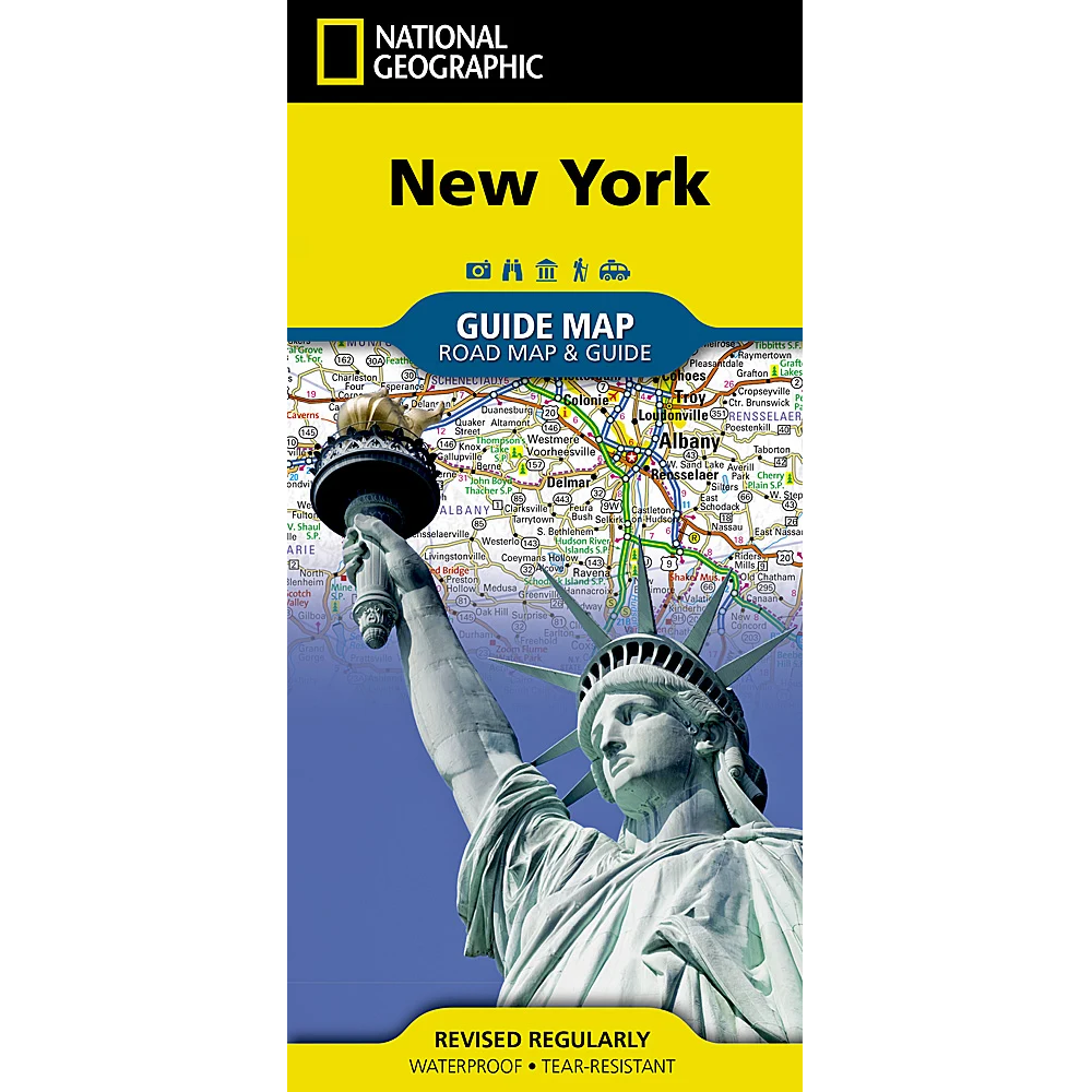
New York Region Guide Map
Explore the many diverse recreational activities and attractions in “The Empire State” with National Geographic’s New York region Guide Map.
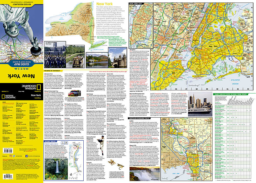
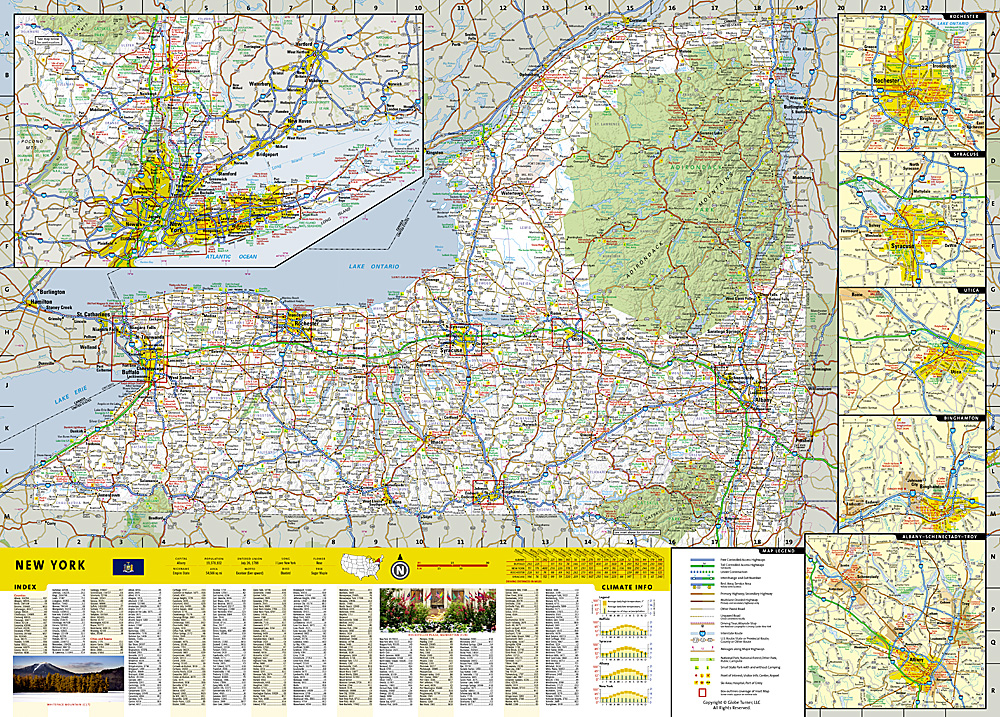
Both comprehensive map and mini-guidebook, this guide provides information on many points of interest including New York City, Buffalo-Niagara Falls, and the Finger Lakes scenic drive from Seneca Falls to Ithaca. In addition to the state map, inset maps provide detail on the urban areas of Rochester, Syracuse, Utica, Binghamton, and Albany-Schenectady-Troy. Road network designations are clear and distances in miles on major highways are shown to help you find the route that’s right for you.
Cities and towns are easy to find with the map’s helpful index. Hundreds of points of interest are shown, along with national and state parks, public campsites, visitor information centers, airports, ski areas, and hospitals. A chart of park service sites and climate information will be helpful for those enjoying the many year-round outdoor activities the state has to offer.
Every National Geographic State Guide Map is printed on durable synthetic paper, making them waterproof, tear-resistant and tough – capable of withstanding the rigors of any kind of travel.


Reviews
There are no reviews yet.