Description
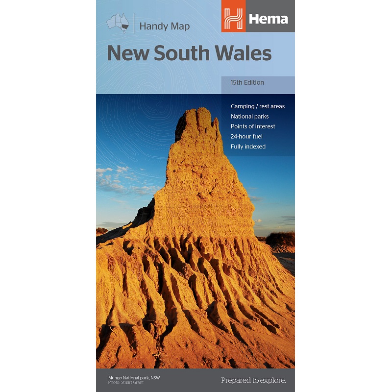
New South Wales Handy Map
The New South Wales Handy Map is a fully indexed state map of New South Wales (NSW) at a scale of 1:1,400,000. The state of NSW is split, with each half of the State printed on one side.
Marked on the map are national parks, camping areas, caravan parks, rest areas, points of interest and 24-hour fuel accompanied by a distance grid.


