Description
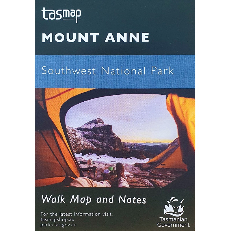
Mount Anne Walks Map
The Mount Anne Walks Map details the Mount Anne circuit, located in Southwest National Park within the Tasmanian Wilderness World Heritage Area. With an elevation of 1423m, it is the highest peak in south west Tasmania and dominates the region around Lake Pedder.
The Mount Anne circuit is a difficult walk where you can experience the wilderness character of the area. The route is poorly marked and extremely steep in places and exposed to wind and wet weather.
The circuit can be undertaken as a 3-Day circuit leaving from either Red Tape Creek or Condominium Creek and tent camping on the Eliza Plateau.
Sections of the circuit can also be undertaken on two separate one-day return walks.


