Description
Merimbula – Bermagui Adventure Map
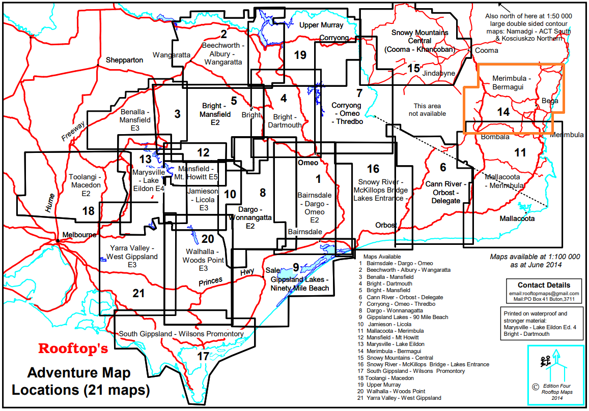
This map covers from Merimbula in the South, Bombala/Nimitabel in the West and Bermagui in the North.
The map shows roads down to 4WD and overgrown tracks, walking tracks, jetties, piers, bush huts, picnic areas, campsites, pay phones, fishing spots, boat ramps and more.
On the reverse side is the Narooma-Tathra Coastal Access Map which has two strip maps of Merimbula to Murrah and Cuttagee to Bodalla.




Reviews
There are no reviews yet.