Description
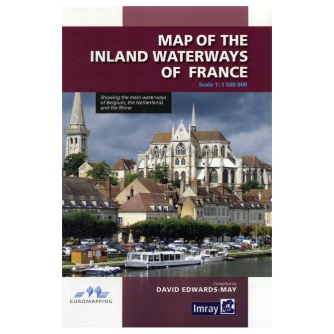
Map of the Inland Waterways of France
Map of the Inland Waterways of France is a 1:1,500,000 scale map with vibrant colours, showing the main navigable waterways of this beautiful country. It also shows the main waterways of Belgium, the Netherlands and the Rhine.


